

The rise of geospatial technologies has transformed the idea of "place" in social science research. At UC Berkeley, multiple units and programs provide instruction in methods and technologies for working with geospatial data. Yet until now, there has been little alignment and collaboration among these different divisions.
To address this challenge, Social Science Matrix is sponsoring a research team dedicated to bringing together researchers from across the campus to investigate opportunities and mechanisms for collaborating and coordinating course content and format around geospatial data, analysis, and technology instruction.
Organized by Patty Frontiera, a researcher in UC Berkeley’s DLab, the team includes representatives from the undergraduate and graduate levels and from faculty, researchers, staff and students. The team is also reaching out to representatives from off-campus groups, like Google and Stamen design, to better understand the skillsets required in this area.
"Many of the current courses offered," the researchers explained in their proposal, "are part of the Geospatial Information Science and Technology (GIST) undergraduate minor and graduate certificate programs, which are joint efforts of the Colleges of Environmental Design, Natural Resources, and Letters and Science. Yet new courses in the School of Public Policy, Civil Engineering, and the School of Information—as well as the undergraduate Data Science Education Program—have expanded the options for learning in this area. Additionally, diverse research units—including the Geospatial Innovation Facility (GIF), Social Sciences Data Lab (DLab), the Digital Humanities Program, and the Earth Sciences and Map Library—have developed training materials and workshops for the campus community on specific geospatial tools, technologies, and methods."
The Matrix Research Team will bring leaders from these different units together to identify strengths, weaknesses, opportunities, and challenges, with a goal to make recommendations for more effective coordination and other program improvements. The organizers seek to share information and experiences, reduce unnecessary redundancies, identify gaps in instruction, improve scaffolding across the different levels and types of instruction, identify pathways for collaboration and coordination, and identify the trajectories for future trainings.
"The broad range of disciplines involved reflects both the emerging importance of incorporating ‘place’ into a variety of distinct research domains, and also the enormous opportunity from weaving the different perspectives, analytic strategies, tools, data resources and use cases to inform research and instruction in this area," they explained. “By having this breadth of relevant stakeholders at the table, we expect to pioneer innovative approaches around this topic that will result in the development of new partnerships and learning opportunities."
The team's goals include developing the network of participants in geospatial education at Berkeley, facilitating the exchange of ideas and information, and producing a white paper summarizing our findings, as well as developing proposals for the shared tools, trainings, and/or data resources. "The significance of this work is that it could result in improved geospatial instruction on campus,” they wrote. “This would not only benefit students but also departments, units and programs. Currently, Berkeley has a great, but uncoordinated, set of academic courses and trainings around geospatial data, analysis, and technologies. With additional coordination and collaboration, it could be the best learning environment in the country."
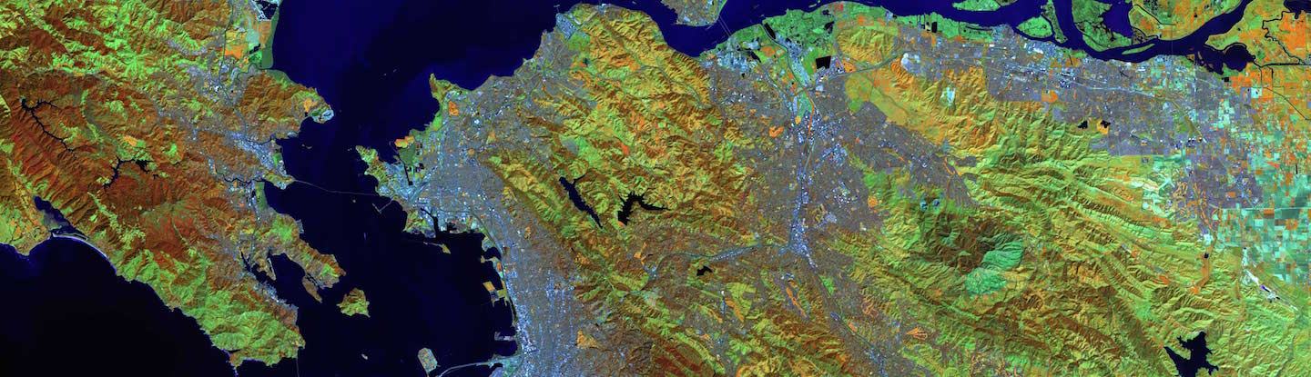
Image Credit: College of Natural Resources, Nancy Thomas, Director of the Geospatial Innovation Facility